The fire danger in the Peace River Forest Area (PRFA) is MODERATE. Although we did receive some rain in the PRFA, the amount varies and some locations in the northern forest area did not receive any precipitation.
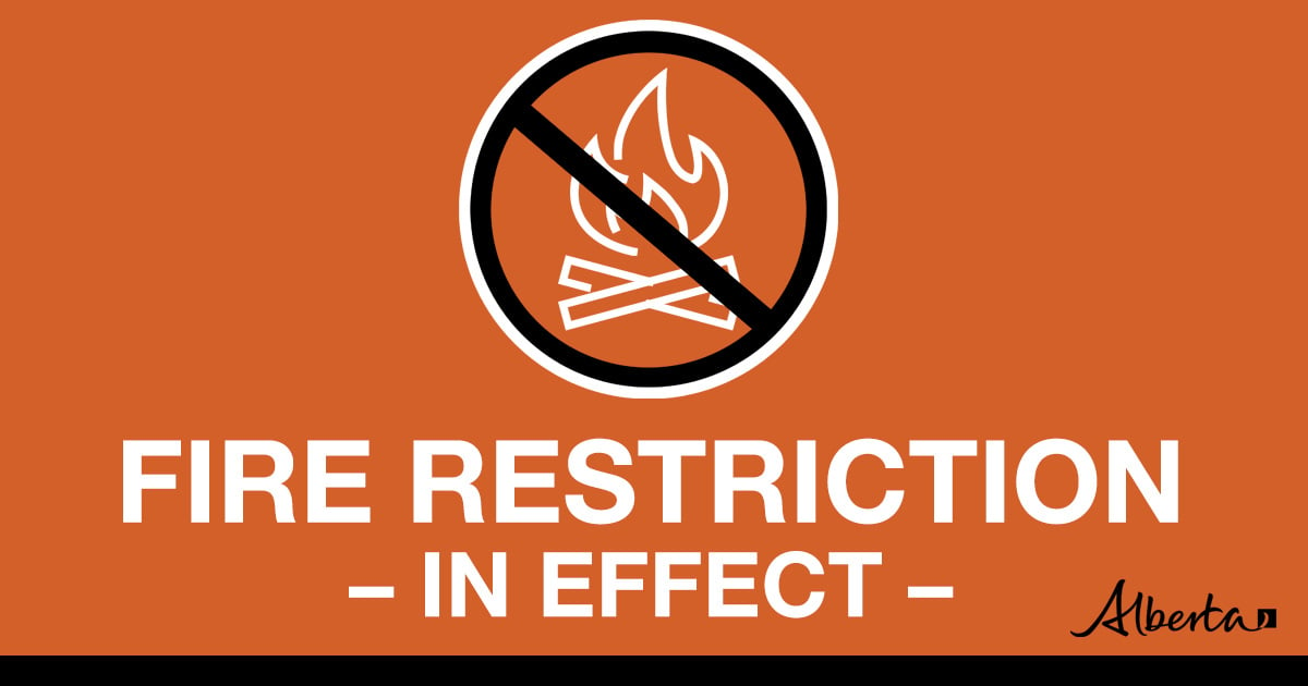
At this time, the precipitation is not significant enough to bring long-term relief to the drought conditions we are facing. A Fire Restriction is in effect.
Warm weather and winds can quickly dry the fine fuels raising the danger levels. Report wildfires immediately by calling 310-FIRE(3473).
A Fire Restriction is in effect for the Peace River Forest Area (PRFA) All outdoor wood fires are banned on public lands, including backcountry and random camping. The use of fireworks and exploding targets are also prohibited.
Please visit albertafirebans.ca to see a map of the areas covered under this Fire Restriction.
A mandatory evacuation for Peavine Metis Settlement has been downgraded to an Alert. As residents settle back into their community we ask that everyone exercise caution on the landscape should they venture in or near areas where wildfire has burned over forested areas. The trees affected by wildfire can have compromised root systems that make them prone to falling over – especially in windy conditions.
Please stay away from these areas until the areas have been assessed and officials are able to mitigate the danger in areas of high public usage.
Due to the numerous wildfires in Alberta, smoky conditions will persist in communities and along highways. Anyone with health concerns should visit Alberta Health Services or call 811 for health advice from Alberta Health Link. Before travelling, check 511.Alberta.ca for the latest road conditions or closures. Visit firesmoke.ca to see where the smoke is coming from and to view wildfires on a map, download the AB Wildfire App or visit the Alberta Wildfire Status Dashboard.
Wildfire Situation
Since January 1, there have been 48 wildfires in the Peace River Forest Area (PRFA) burning a total of 6,835 hectares (ha).
The Kimiwan Complex Wildfire PCX001 (SWF068 and PWF038) – SWF068 is classified as Out of Control (OC). As air quality has improved, air operations have resumed. More accurate perimeters are being established, including updated estimated fire size, which is now 119,985 ha. The SWF068 wildfire is currently 43 per cent contained. Firefighters continue to work in the north end and east flank of the wildfire extinguishing hotspots and seeking opportunities for heavy equipment access. Resumed air operations enables increased support for heavy equipment groups, which continue to build fire guard around the fire excursion on the west side of the fire, north of the Town of McLennan, on the southern end of the fire, north of Peavine Metis Settlement, and at the fire’s eastern flank. Work to link dozer guards on the east flank from the south and north is continuing. Resources on the fire include 41 pieces of heavy equipment, 61 unit crew, five hac crew, 81 firetac, and 23 other single resource firefighters.
PWF038 is now classified as Being Held (BH) and 100 per cent contained.
A 50-person Incident Management Team is now in place in The Peace River Forest Area (PRFA) and has taken over management of the Kimiwan Complex which includes both (SWF068 and PWF038) fires. Additional firefighting crews and resources are being deployed to assist. These resources were deployed to the Peace River Forest Area from Alberta Wildfire through interagency agreements. Alberta has requested additional resources through the Canadian Interagency Forest Fire Centre in Winnipeg, and agreements with the United States and Mexico.
GWF018 is currently classified as Being Held (BH). It is now estimated to be 47,486 ha in size and 80 per cent contained. It is located on both sides of the Peace River, and is approximately five kilometers east of Cleardale and 13 kilometers southwest of Worsley. Crews are continuing to successfully use direct attack on the fire’s northwest flank on the south side of the river in Saddle Hills, and the northeast corner of the fire on the north side of the Peace River. There are two unit crews, two hac crews, two equipment groups and an additional two water trucks and two helicopters working on this fire. With air quality improving, helicopters were again able to assist in assessment and support of firefighters and equipment.
Continue to stay informed by subscribing to Alberta Wildfire updates by entering your email. To view wildfires on a map, download the AB Wildfire App or visit the Wildfire Status page.
Caution is advised when travelling on area highways due to smoke conditions, especially in low lying areas. For road closures, visit 511 Alberta.
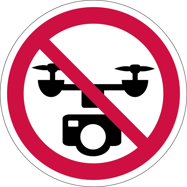
Do not fly drones near wildfires
The use of recreational drones over wildfires in Alberta is dangerous, illegal and could result in a fine of up to $15,000* for putting aircraft and people at risk. Please give Alberta firefighters the space they need to do their jobs safely.
*according to Transport Canada
NOTAM
Aircraft pilots are reminded to check NOTAMs before flying into areas with active wildfires. Flying into a NOTAM area without prior authorization will cause disruption to aerial firefighting.
310-FIRE
While we always appreciate people calling in to report wildfires, the large volume of calls we are currently receiving is diverting our resources away from other essential tasks. You can always visit firesmoke.ca to see where the smoke is coming from, and as always, please still call 310-FIRE if you see smoke or flame that looks new and potentially unreported, but assume that larger columns of smoke have already been detected. Thank you!
If you see smoke or flame in the forest, call 310-FIRE (3473).
Smoky conditions
Due to the numerous wildfires in Alberta, smoky conditions will persist in communities and along highways. Anyone with health concerns should visit Alberta Health Services or call 811 for health advice from Alberta Health Link. Before travelling check www.511.Alberta.ca for information the latest road conditions or closures. Visit www.firesmoke.ca to see where the smoke is coming from and to view wildfires on a map, download theAB Wildfire App or visit theAlberta Wildfire Status Dashboard.