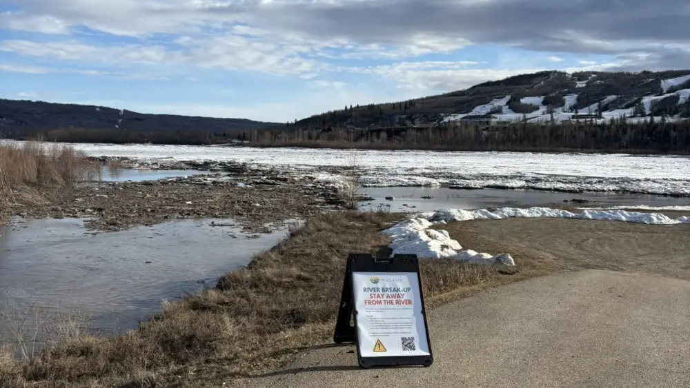
The Town of Peace River continues to remain in a higher risk flood period as river break up continues.
The Peace River ice front is now approximately 56km upstream of the Highway 2 bridge at the Town of Peace River. It has been retreating at an average of 11 km per day.
The Peace River ice front is much further upstream than on average, and as a result, breakup of the Smoky River basin is occurring before the ice front retreats past the Town of Peace River.
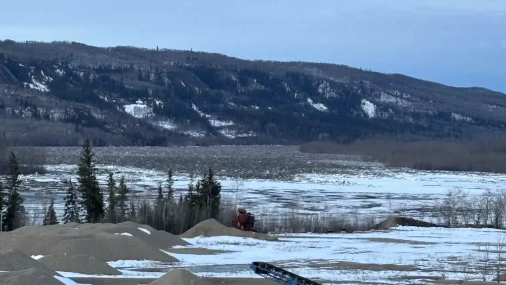
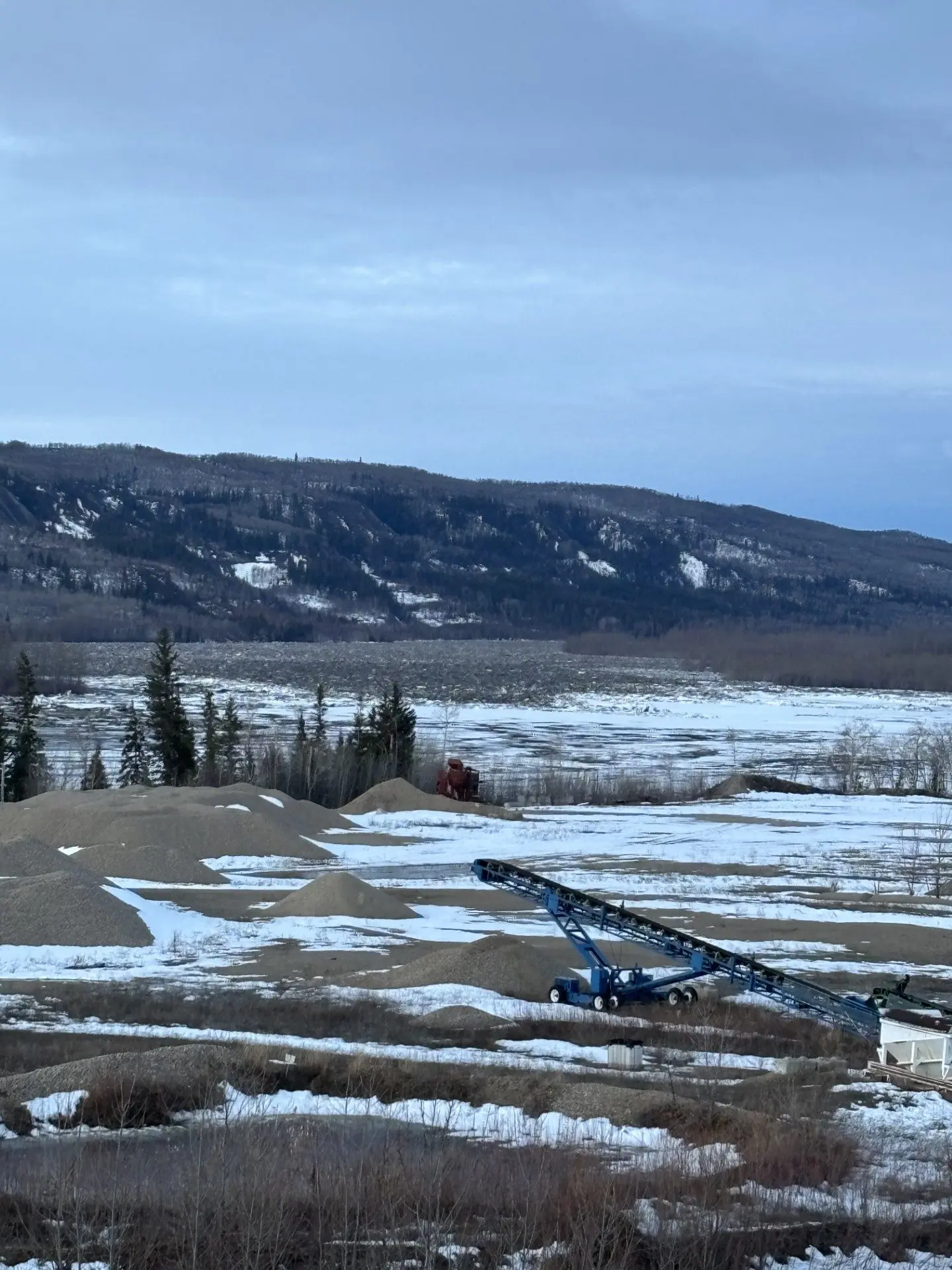
The Smoky River ice jam has consolidated to 3.5km in length and is currently in place at the mouth of the Smoky River which joins with the Peace River. It did not move overnight, and remains in a waiting period. According to the Town, “best case scenario, the ice holds in place a gradually melts. If that happens, we would remain in a heightened monitoring period until the ice clears.” The Town notes, this scenario may take four to five days as it would wait for the Peace River ice front to reach this area.
Snowmelt runoff is rising steadily in the Smoky River tributaries due to the warm temperatures over the past few days. Temperatures are forecast to cool down to conclude the week and into the weekend. This temperature decrease is expected to slow snowmelt runoff across the basin.
Alberta Environment and Protected Areas, and BC Hydro are also in contact regarding river ice conditions and operation of the BC Hydro Peace River facilities. Accordingly to Alberta River Basins, water levels on the Peace River are currently elevated, but are stable with no further recent increase.
At this time, there is no immediate flood impact. However, residents are reminded that conditions can change quickly, to take precautions, and be prepared to evacuate on short notice if necessary. Especially those in typically higher risk low lying areas of town including the North End, Downtown, Lower West Peace, by the Heart River and Pats Creek.
Trending 55 Newsroom