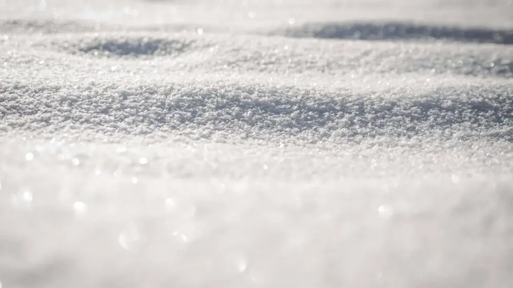
According to Environment Canada’s weather service says we expect cold temperatures to return in a big way by the weekend.
That is according to Meteorologist, Sara Hoffman, who says the climate on the way is more in-line with seasonal highs and lows.
“We are forecasting a low-pressure system coming in from the Mackenzie Valley River in the Northwest Territories,” predicts Hoffman.
“With the passing system, we are expecting some gusty winds and some flurries and maybe a mix of rain with those above-normal temperatures.”
Hoffman says as the snow and rain arrives, it will be followed by frigid temperatures in time for the weekend.
“Coming on Thursday and Friday, we have a dome of cold air coming in from the arctic that will entrench itself all over the prairies – and much of Western Canada – for the foreseeable future,” she adds.
Hoffman adds that when a low-pressure system comes down further south from the arctic than usual, this is called a polar vortex.
She tells the Trending 55 Newsroom that the long-term forecast tells us the colder temperatures will be around for at least a week, possibly longer.
“Looking at the long-range probabilities, we could see some seasonal to above-seasonal temperatures around the first week of February,” says Hoffman.
She adds that most of the west has seen well above-average temperatures.
– Kenny Trenton, Trending 55 Newsroom